Field notes: the week the stereo pass caught a property line nobody had walked in a decade
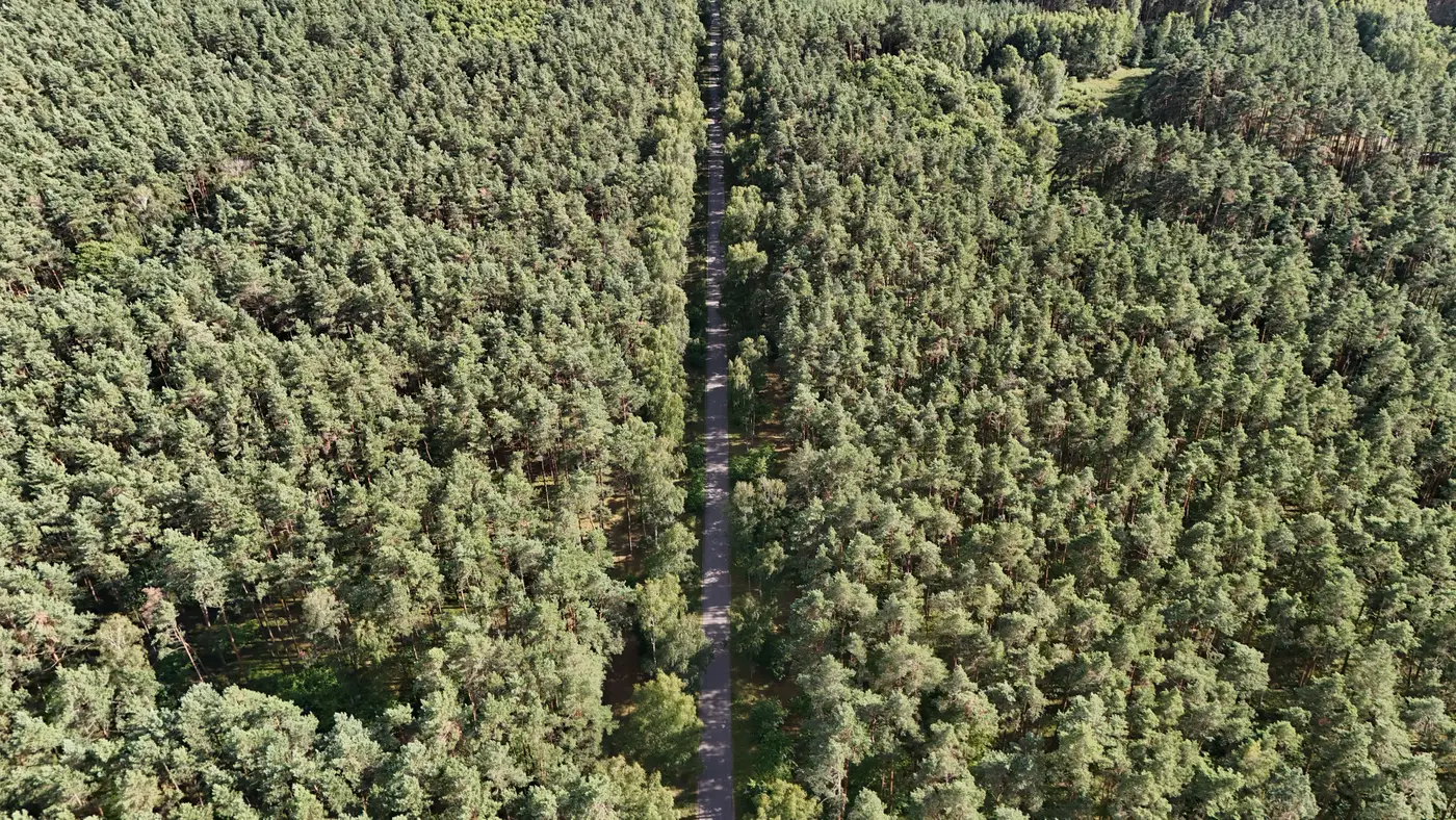
We were running a routine canopy surface model over a 4,200-acre block in the Piedmont, checking stocking ahead of a cruise reconciliation, when the elevation profile along the northeast line did something odd. The canopy stepped down by nearly eleven meters over a span of maybe forty feet, then held flat for a quarter mile.
That kind of discontinuity usually means one of two things: a harvest edge, or a management difference between neighbors. This was the second kind, and it had been there long enough that nobody currently on staff had seen it in person.
The parcel in question came into the portfolio through an acquisition nine years back, bundled with four other tracts in the same county. The deed called the northeast line along a bearing from a stone monument that, as far as anyone could tell from the file, had not been field-verified since the original timber cruise in the mid-2000s. The forester who ran that cruise has since retired. The access road that used to run along the line washed out in a 2019 storm and was never rebuilt, so the stretch has been effectively unreachable on foot without a fairly serious bushwhack.
What the stereo pass showed, once we pulled the canopy height model and overlaid the parcel polygon, was that the managed stand on our side ended about eighteen feet short of where the deed line said it should. On the far side, somebody had been thinning or clearcutting right up to a line of their own, and that line didn't track the recorded bearing. Eighteen feet over a quarter mile is a modest trespass, but it adds up in a county where stumpage runs what it runs and the standing volume along that strip was mature loblolly.
The asset manager's first reaction was the right one: don't assume the imagery is correct and the deed is wrong, or the other way around. A canopy height layer built from VHR optical stereo tells you where the trees are and how tall they stand. It doesn't tell you who owns the ground under them, and it isn't a substitute for a licensed survey. What it did here was give the manager a reason to order one, on a line that otherwise would have sat quietly on a shelf until the next timber sale forced the question, probably at a worse moment.
This is the part of standing-volume work that doesn't show up in the pitch. Most weeks, a refreshed canopy surface model is unglamorous. It updates a volume figure, moves a reporting number up or down a few percent, gets dropped into a spreadsheet for the carbon registry or the loan covenant and nobody thinks about it again until next year's pass. But because the model is built from the same overlapping imagery every cycle, over the same ground, it has a way of surfacing things that a cruise crew walking a sample grid would never cross. Nobody plans a timber cruise to walk the exact boundary. A full-coverage height model doesn't have that choice.
We flagged the discrepancy, handed the coordinates to the manager's survey contact, and moved on to the next block. The resolution of that line is somebody else's job now, as it should be. Our part was smaller: notice that the canopy didn't match the paper, and say so before the next harvest made it expensive.
If your own boundary lines haven't been walked in a while, a standing-volume refresh over the holding is a reasonable place to start looking, and Canopy Height Mapping builds that layer from the same stereo imagery used here. Worth a look before the next cruise season, not after.