Field notes: the flight that caught a blowdown before the cruise crew did
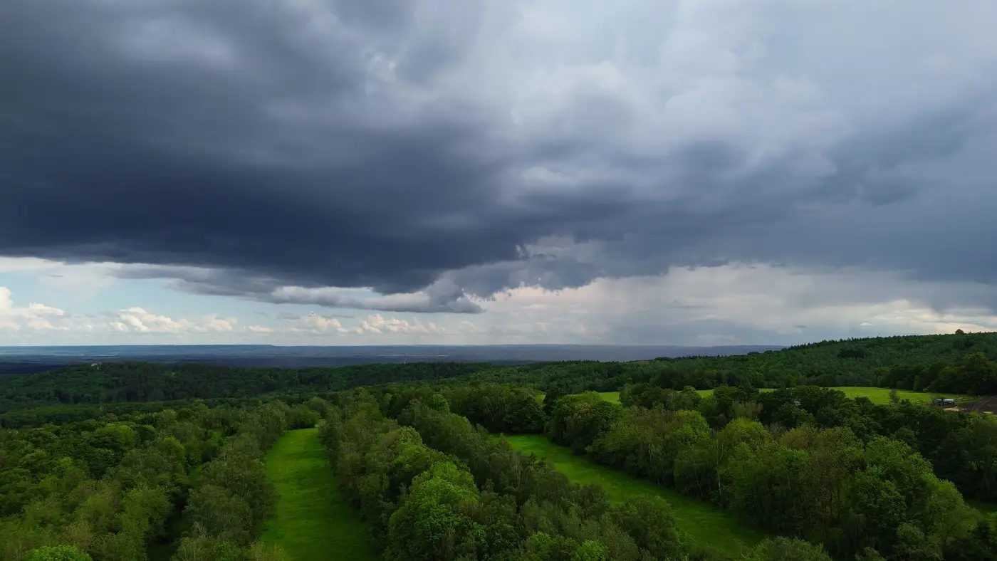
We got the call in March, a little annoyed, if I'm honest. A client's forestry consultant had walked a compartment on the eastern edge of a loblolly holding and found a mess: a hundred-yard swath of trees down, crowns tangled, root wads tipped up like dinner plates. He wanted to know why nobody had flagged it.
The answer was sitting in a folder from six weeks earlier.
The annual canopy refresh for that tract had come back in late January, part of the standard cycle this particular asset manager runs every year on their income holdings. Nobody had gone looking for storm damage in it specifically. The flight was there to update standing-volume numbers ahead of a valuation cycle, not to hunt for wind events. But when the new canopy surface model got differenced against the prior year's, the blowdown area showed up as a clean, unmistakable drop in height, tight to the footprint of what turned out to be a straight-line wind event from a February squall line nobody on staff remembered being notable.
By the time the cruise crew got out there with tapes and a ground crew to confirm salvage volume, the imagery had already told the story. Height data only, pulled from overlapping VHR stereo passes, no boots in the mud yet, and it had the compartment boundary of the damage down to a few pixels.
Anyone who's run a few annual refresh cycles on a holding has had this happen at least once. The refresh exists to carry a standing-volume estimate forward year over year, so a REIT or a carbon developer has something defensible to put in front of a lender or a registry. Run on the same cadence, with the same stereo geometry, every year, a canopy height model turns into a difference map almost by accident. Last year's surface minus this year's surface is blowdown, beetle kill, a harvest nobody logged in the GIS, or a sinkhole, depending on where the drop shows up and how it's shaped.
The timing gap is what made this one interesting to me. The cruise crew's visit was already scheduled, routine, unrelated to any damage report. If the storm had hit a compartment further from a road, or in a quarter nobody was due to walk for another eight months, that volume loss would have sat on the books overstated for most of a growing season. On a carbon project, that volume feeds a stock estimate in a verification cycle, and a wind event that knocks down twenty acres of standing biomass needs to come out of that number before anyone signs off on it.
There's a quieter lesson here too, about what a refresh buys a holding versus what a one-off flight buys you. A single pass tells you what's standing today. A refresh cadence, run year after year on the same parcels, tells you what changed and roughly when. For a REIT managing valuation cycles across a few dozen compartments, or a carbon developer answering to a registry on stock changes, that second thing is the one that matters when a storm, a pest outbreak, or an unpermitted removal shows up between ground visits.
The folks running the carbon project in that case didn't need a new product or a special storm-response flight. They needed the standard annual canopy height mapping cycle to keep running on schedule, and a few minutes of someone asking why a patch of the raster looked different from the prior year. The cruise crew still walked the block, tape in hand, to confirm what the salvage volume actually was. But they walked it already knowing where to point the truck.
If a holding's volume numbers are only as current as the last ground cruise, it's worth seeing what an annual canopy height refresh looks like on your own compartments.